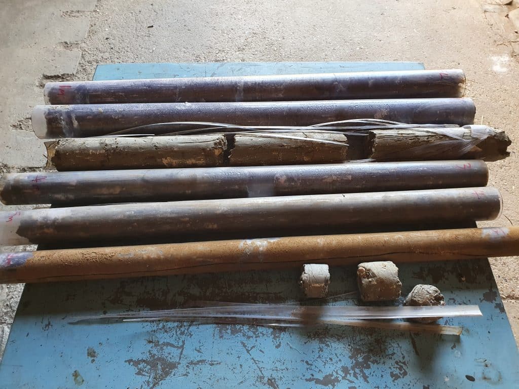
As part of the Agromix project work, in August 2022, the ORC took soil core samples down to 6 metres depth in two locations (one in an agroforestry tree line, one in an open area where we have no tree lines). They then inserted a plastic tube which will allow ongoing measurement of the water table. See how it happened in these video clips!
And here are the soil cores laid out in order – each one meter long- with the shallowest being the top in this photo (and ground level top right), showing that we have about 30cm of top soil above a layer of clay which near the surface includes significant chalk lumps. More detail will follow when ORC have finished analysing the cores.